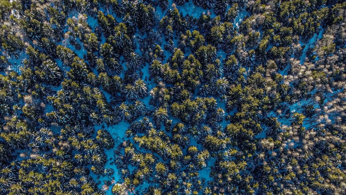
New Delhi: A person walks through a forest, weaving between trees and occasionally disappearing behind thick trunks. A small drone follows, adjusting its path to avoid branches and keeping track of the moving target. It does not rely on GPS, a pre-loaded map of the woodland or a continuous connection to a remote computer.
The demonstration, shared by Aniket Bera, an associate professor of computer science at Purdue University, has drawn attention to the possibilities of autonomous drones. In a video posted in October, a quadcopter developed by his IDEAS Lab can be seen navigating between trees while following a person moving through the forest.
The technology addresses a significant problem for drones. Satellite navigation can become unreliable under dense tree cover, while remote locations may have limited internet or communications connectivity. The demonstration offers a glimpse of how onboard sensors and computing systems can help machines navigate when conventional navigation methods are unavailable.
How can a drone fly without GPS?
GPS works by using signals transmitted by satellites to help a receiver calculate its position. However, these signals can become weak or unreliable when obstacles obstruct their path. Dense vegetation, buildings and mountainous terrain can create difficulties for satellite-based navigation.
A drone operating in such conditions needs another way to estimate where it is and understand its surroundings.
One approach is to use sensors that measure the environment around the aircraft. LiDAR, short for Light Detection and Ranging, sends out laser pulses and measures how long they take to return after hitting objects. By collecting these measurements, the system can construct a three-dimensional representation of nearby surroundings.
An inertial measurement unit, meanwhile, records changes in the drone’s movement, including acceleration and rotation. Combining these measurements helps the aircraft estimate how it is moving through space.
This process is known as LiDAR-inertial odometry. Rather than relying on its position relative to satellites, the drone estimates its movement using information collected from its surroundings.
The resulting map is continuously updated as the aircraft moves. Trees, branches and other obstacles can be identified, allowing the navigation system to calculate a route through available space.
How does it avoid trees and follow a moving person?
Navigation is only one part of the challenge. The drone must also identify its target and distinguish the person it is following from the surrounding environment.
Computer vision allows an onboard system to analyse images captured by a camera and identify objects. Once a person is recognised, the drone can use their position in successive frames to estimate their movement and adjust its own flight path.
However, forests present a particular difficulty: people frequently disappear behind trees. This is known as occlusion, when an object is temporarily hidden from a camera’s view by another object.
The Purdue demonstration describes an additional capability called occlusion prediction. When the person disappears behind a tree, the system estimates their likely direction of movement and where they might reappear. It can then attempt to resume visual tracking when the person comes back into view.
Such predictions are estimates, not confirmed positions. Sudden changes in direction, poor visibility or prolonged obstruction can make tracking more difficult.
The drone also needs to process sensor information and make decisions quickly enough to avoid obstacles. This is why onboard computing is important. Instead of sending information to a distant server and waiting for instructions, the aircraft can process data and adjust its movements locally.
What technology is behind the demonstration?
The video shared by Bera shows a system combining visual tracking, mapping and autonomous flight. However, the complete hardware and software configuration has not been publicly documented in a research paper.
An analysis of the video’s telemetry by technology publication DroneXL identified references to two open-source tools developed by the University of Hong Kong’s Mechatronics and Robotic Systems Laboratory. These are SUPER, a motion-planning system, and FAST-LIO, a LiDAR-inertial odometry framework.
The University of Hong Kong researchers published work on SUPER in the journal Science Robotics in January 2025. The system was designed to help aerial robots navigate unfamiliar environments while avoiding obstacles.
The appearance of these software names in the Purdue video’s telemetry is relevant when describing the technology’s development. It does not, by itself, establish precisely how the tools have been integrated or whether they were modified for the demonstration.
There is also no published peer-reviewed paper establishing the performance of this particular forest-tracking flight.
Could it help find missing people?
One potential application is search and rescue. Finding a missing hiker or locating someone stranded in a remote forest can be difficult because dense vegetation obstructs visibility and uneven terrain slows down ground teams.
A drone that can navigate without reliable satellite signals could help search areas where conventional aircraft or ground-based teams face difficulties. Its ability to estimate a person’s movement when they temporarily disappear from view could also be useful when tracking someone through dense vegetation.
The same underlying technology could have applications in disaster response, particularly in areas where communications infrastructure has been damaged or satellite navigation is unavailable.
Autonomous navigation also has military applications. Purdue previously announced a five-year, $1.5 million agreement with the US Army Research Laboratory to develop drones and ground robots capable of operating in environments where satellite navigation is unavailable. However, the publicly available demonstration does not establish that the funding supported this specific forest flight.
What are the limitations?
A successful demonstration does not necessarily establish that a technology is ready for deployment. The forest video shows the drone following a person through a particular environment, but publicly available information does not provide independent performance data on tracking accuracy, battery endurance, operating range or reliability across different forests and weather conditions.
Safety is another consideration. Autonomous aircraft must be able to respond to unexpected obstacles, changing weather and failures in their sensors or software. A system that estimates a person’s location must also distinguish between a predicted position and a confirmed sighting.
For now, the Purdue demonstration illustrates how advances in sensing, computer vision and onboard computing are making it possible for drones to operate with less dependence on satellite navigation. Its eventual usefulness in rescue operations will depend on how reliably these capabilities perform outside controlled demonstrations.